Application
Scoria
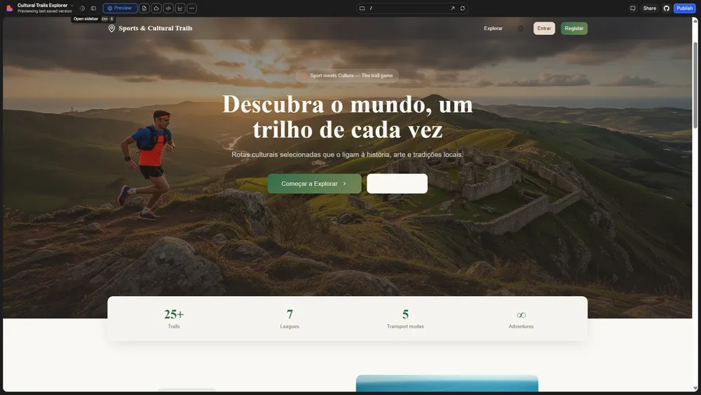
Sports and cultural trails with points of interest, GPS location and challenge-based progression.
In development- Objective
- Connect physical activity and discovery through georeferenced trails and challenges.
- Technologies
- React · TypeScript · Vite · Supabase · Leaflet · i18next
The project
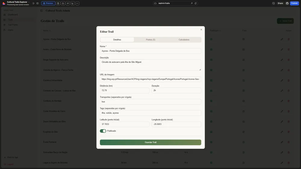
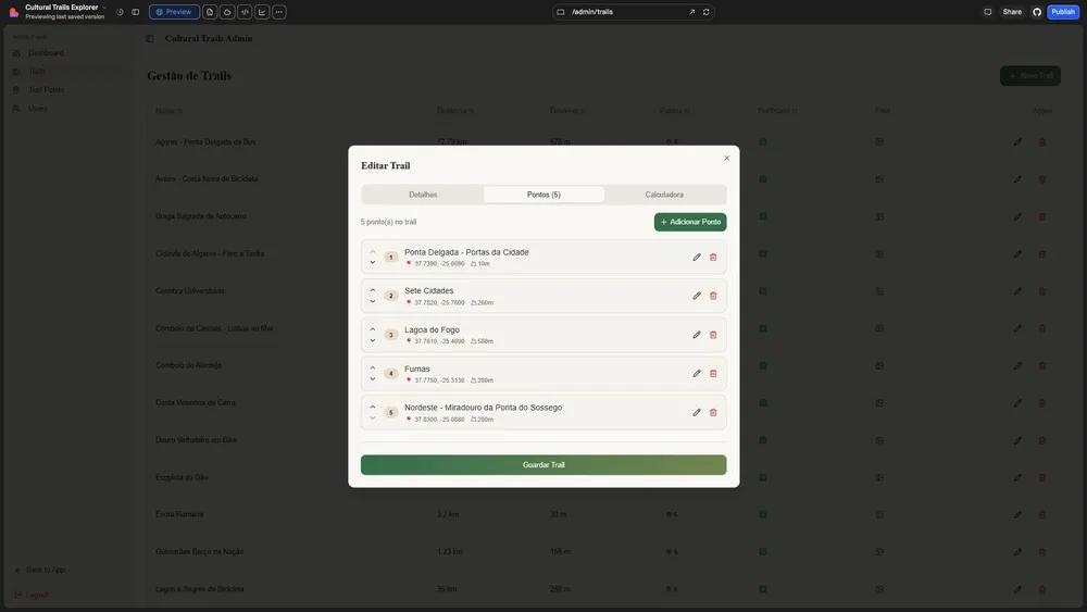
Scoria combines trail exploration with participation and progression. Its administration area supports management of the catalogue, points of interest and users.
Features
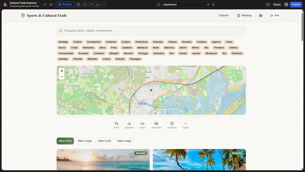
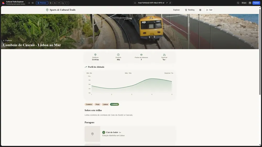
- Trail catalogue with maps, distance, difficulty and elevation.
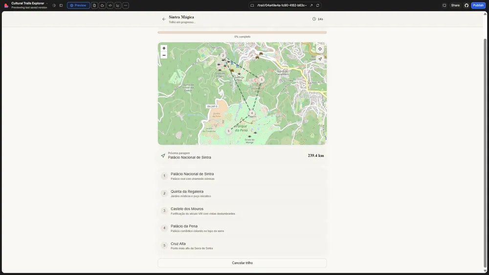
- Location tracking and proximity-based point validation.
- Points, leaderboards and seven leagues.
- Trail and point administration, with a PT/EN/ES/FR interface.
Technologies
React, TypeScript, Vite, Supabase, Leaflet, i18next.
Status and availability
A version intended for development and verification in a private environment. Field use, scoring validation, the Supabase environment and integration tests still require verification. Geolocation requires a secure context; maps and elevation depend on external services.
Project images
Working-version captures. The interface and displayed data may differ from the current application.